The 15068 map poster
Every road in ZIP 15068, drawn from 510 km of open road data. Print it, frame it, put it on a T-shirt. Just keep the credit line on it.
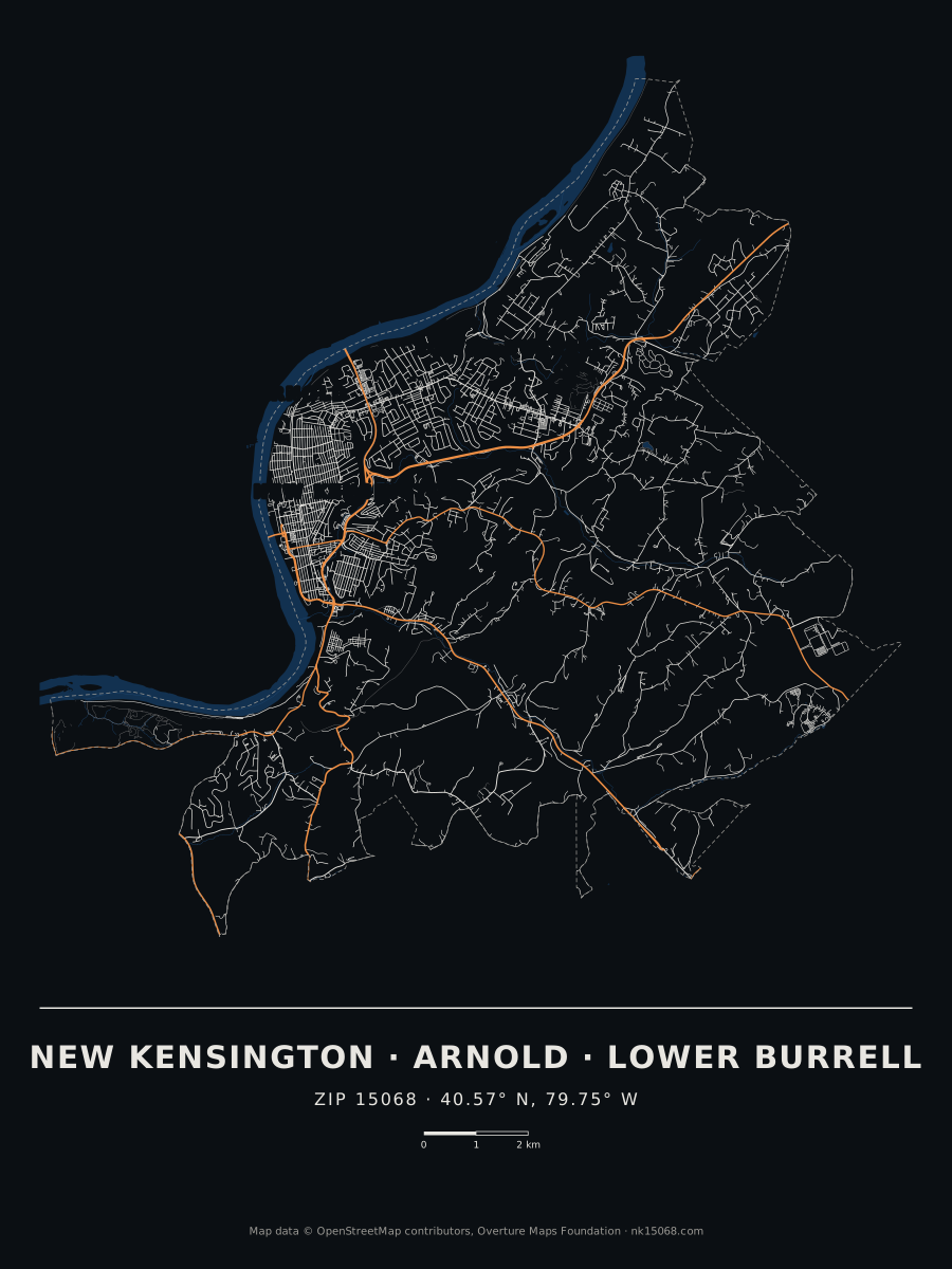
Download the poster (SVG, prints at any size)The dark version (SVG) ›
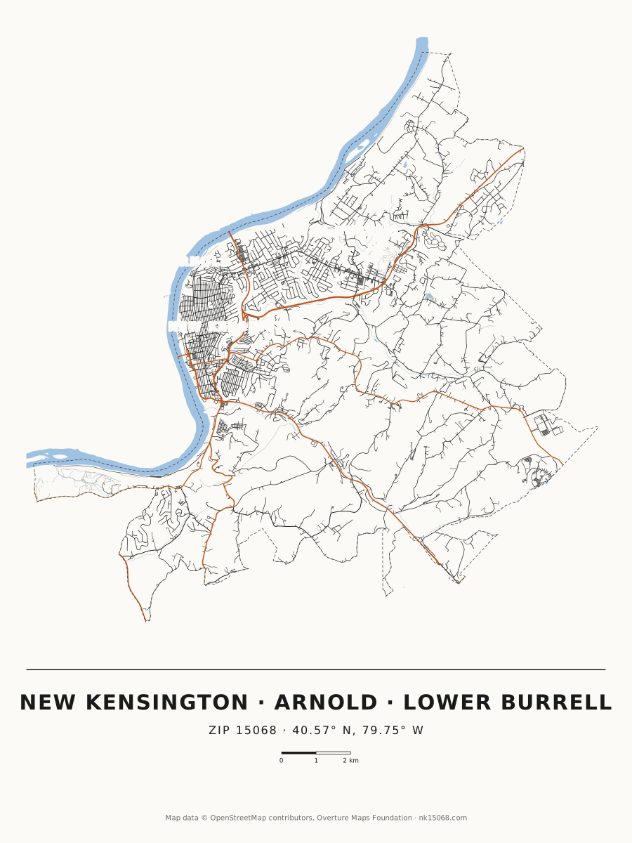

Your street poster
Type a street in 15068. We’ll crop the poster to it, draw your street in blue and put its name in the title. It’s made on your device; nothing is sent anywhere.
The 3D version › The searchable map ›
How it’s drawn
510 km of road and 790 named streets from Overture Maps release 2026-08-19.0, clipped to the Census Bureau’s boundary for ZIP 15068. State routes are orange, the dashed line is the ZIP boundary, and the river and creeks come from the same open data. Every line is rounded to the nearest metre, and the coordinates under the title are the centre of New Kensington.
Map data © OpenStreetMap contributors, Overture Maps Foundation.